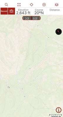
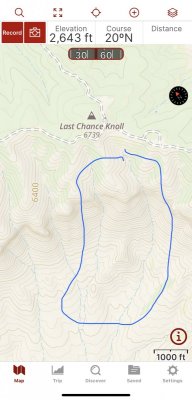
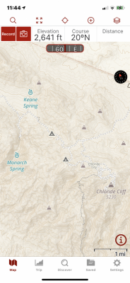
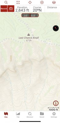
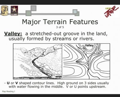
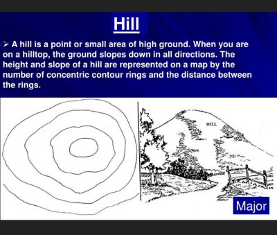
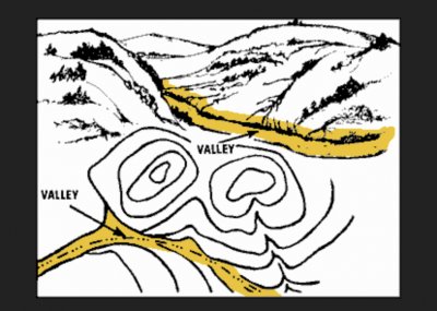
Today’s Topic is CONTOUR LINES, on your Map or more likely your NAV App.
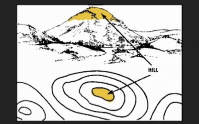
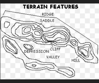
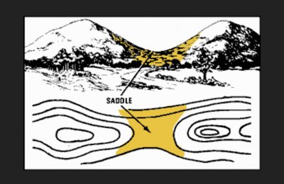
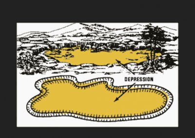
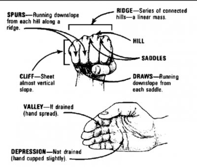
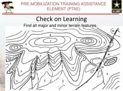
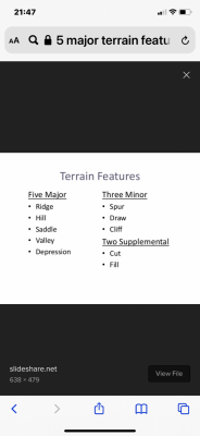
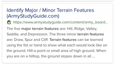
I’ve attached the link from the Army Study Guide that explains Contour Lines and The 5 Major and 3 minor Terrain Features.
Being able to “Reading the Contour Lines” and then being able to Visualize what you can expect to see on the ground is a Critical Skill in Land Navigation. It helps you in planning your route (4x4/4x2feet)so that you may have a joyful and successful Adventure
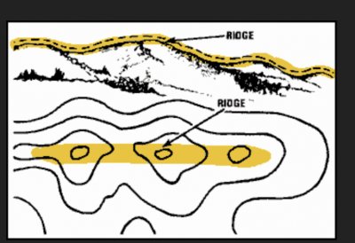
 It’s helpful to know ahead of time that the trail you are traversing along the RIDGE to the HILLTOP ends at a Steep CLIFF, so you don’t go Flying along the Ridge, ending with your Death at the bottom of the cliff.
Being able to Read and Interrupt the CONTOUR LINES will also aid you in determining Your Location on the Map.
Ok, I should be making a right turn at the Base of this hill. I come to a Right turn, but it goes along a wash, not by a hill? Trust your gut and Navigation Skills, that’s not your turn!
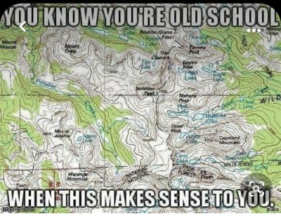
With all these new Navigation Apps, you can easily see that the little Arrowhead (my location) hasn’t reached the turn yet. But when your Electronics fail, or you didn’t save this AO that you are operating in, so your NAV screen is blank, you have to go “Old School” Map & Compass, and Terrain Association!
If your NAV App doesn’t indicate the “Contour Interval” (Distance between the Contour Lines) you can determine that yourself using the Index (Heavier Dark Brown contour lines) say I see an Index line indicating the elevation along that line is 2000’. The next Index line, near the Hilltop indicates 2100’ near the crest of the Hilltop and there are 5 contour lines between the Index lines. Your Contour Interval is 20’. So there will be 100’ of elevation gain if you’re traveling from the 2000’ Index line to the 2100’ Index line. How CLOSE OR FAR APART the Contour Lines are determines your Slope. Contour Lines close together=Steep Slope/Angle. Further apart=Gentler the slope/angle. This concept is explained in greater detail in the Army Study Guide below.
https://www.armystudyguide.com/cont...n_map_reading/identify-major-minor-terr.shtml


