BlackMamba
Full Access Member
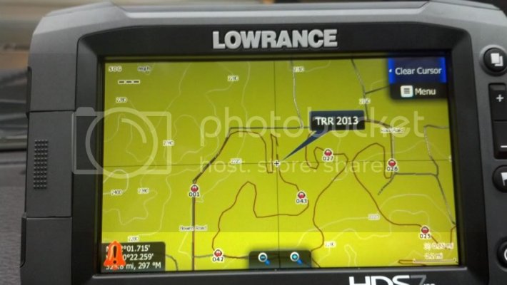
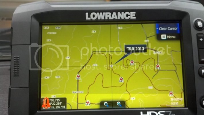
I had assumed (maybe incorrectly) that I would just download the new Insight Topo East, which includes Texas, transfer that to a SD card and then upload to my Lowrance. Then download Trey's .USR file, transfer that to a SD card and upload it to my Lowrance. Resulting in TRR track overlaying the new Insight topo maps. Then I planned to run a pre-run lap marking areas to slow down, etc.
Have I completely misunderstood how this works?
Have I completely misunderstood how this works?


