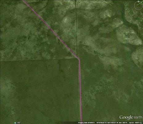
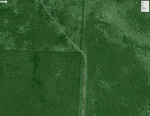
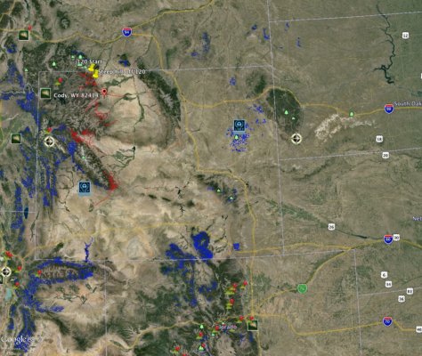
Ok I just found something new and awesome. Google Earth Pro can import GIS files, and the forest service publishes publishes this data for us to consume.
Per forest example:
Shoshone National Forest - Geospatial Data
Country wide dataset:
USDA Forest Service FSGeodata Clearinghouse - Download National Datasets
If you are using the country wide dataset download the shape file, you will also need to zoom to the area you are interested in, you probably will not be able to open the whole file.
* Unzip the download
* Open google earth, select file, import and select the .shp file you extracted.
* When using the country wide set and prompted select only import items in the current view.
* When asked to apply a style select yes, for name field select name from the drop down, and set your color on the color tab.
* If you want to save the style you can, I dont.
* Enjoy your new route planning power.
Google Earth Outreach


