KaiserM715
Kaiser Söze
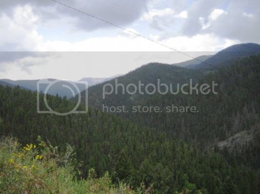
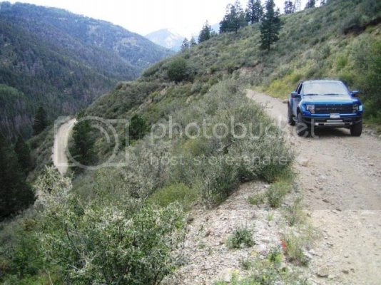
I was in Red River, NM for my vacation and wanted to try a new trail. I had not tried the Old Red River Pass before, so I gave it a shot. This trail was the original route, from the east, into the town of Red River until sometime in the 1960’s. Then the paved road was built and the original road is no longer maintained. The trail is pretty slow going, but 4WD is not required. The only time I used it was to get the additional engine braking found with low range. The trail is wide enough for one vehicle on the way up with a couple of spots to pass at the switchbacks. At the top of the pass, going south takes you to 4th of July Canyon (not a solo vehicle proposition) and east continues along the old road. At this point, the trail narrows such that our mirrors don’t quite clear in several places. In addition, I encountered several soupy mud puddles (with rock bottoms) that almost come up to the axles. At one point near the end, I came to a fork in the road and decided to follow a group of ATVs and wound up coming out on the private property of a tour operator. I just waved and went on out to the highway (NM 38).
Here are the GPS waypoints for the trail:
http://www.everytrail.com/view_trip.php?trip_id=1744311
Map location for the beginning of the trail (Forest Access Rd 488)
https://maps.google.com/maps?q=36.691358,-105.388008&hl=en&num=1&t=h&z=16
Map location for the top of the pass:
https://maps.google.com/maps?q=36.680965,-105.37228&hl=en&num=1&t=h&z=16
Map location for the end of the trail (Trail 35007)
https://maps.google.com/maps?q=36.7...5.343866&spn=0.011939,0.018132&num=1&t=h&z=16
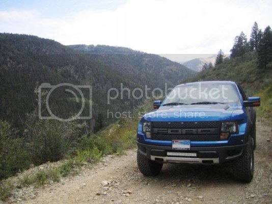
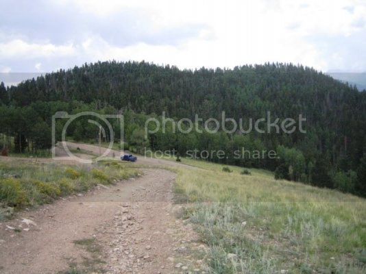
Showing some of the switch backs:
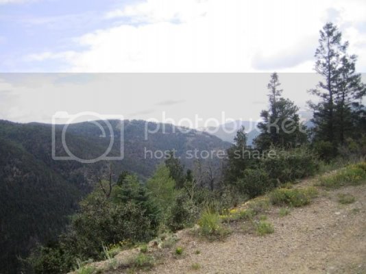
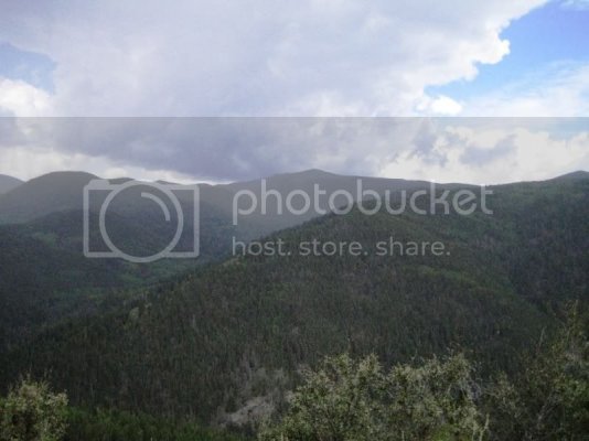
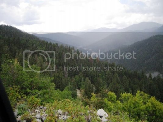
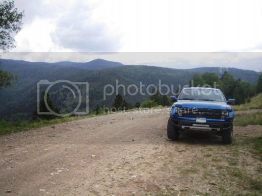
View from the top of the pass:
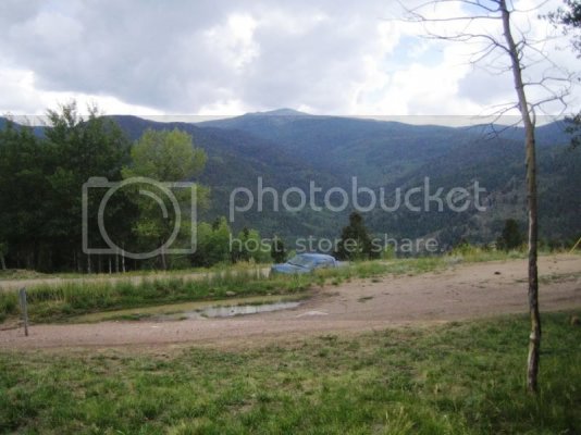
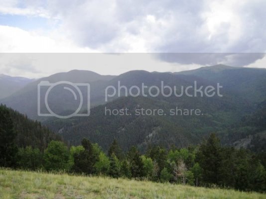
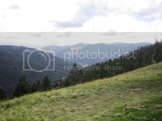
You can see a little bit of the town in the center of the pic:
Heading down 35007:
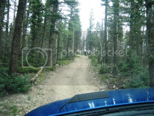
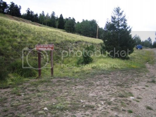
At about 10,000 ft:
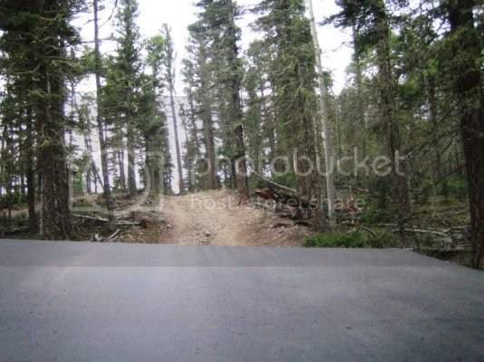
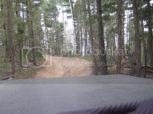
One of the mud holes:
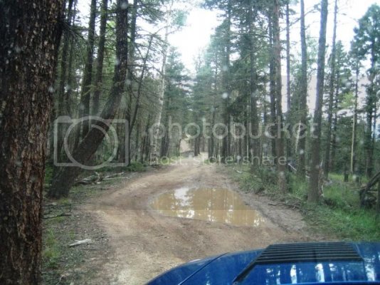
Here are the GPS waypoints for the trail:
http://www.everytrail.com/view_trip.php?trip_id=1744311
Map location for the beginning of the trail (Forest Access Rd 488)
https://maps.google.com/maps?q=36.691358,-105.388008&hl=en&num=1&t=h&z=16
Map location for the top of the pass:
https://maps.google.com/maps?q=36.680965,-105.37228&hl=en&num=1&t=h&z=16
Map location for the end of the trail (Trail 35007)
https://maps.google.com/maps?q=36.7...5.343866&spn=0.011939,0.018132&num=1&t=h&z=16


Showing some of the switch backs:


View from the top of the pass:


You can see a little bit of the town in the center of the pic:


Heading down 35007:

At about 10,000 ft:


One of the mud holes:

Last edited:

