KaiserM715
Kaiser Söze
My buddies and I planned a quick weekend trip to Barnwell Mountain Recreation Area a couple of weeks ago. Here is a link to the trail map: Map. The park had nice scenery and was not crowded at all the weekend we were there. The trail ratings are three years out of date and it shows. I had heard that Barnwell was tight on funds, which was holding up trail maintenance. The trail map is not very good, and several of the trails are unmarked. Supposedly one of the Dallas FJ forums has a good map from GPS traces, but they do not share it outside of the club. Width is an issue for us, but what is new. Otherwise, the Raptor did great.
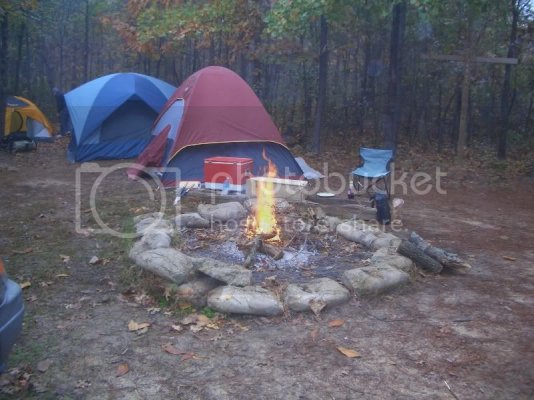
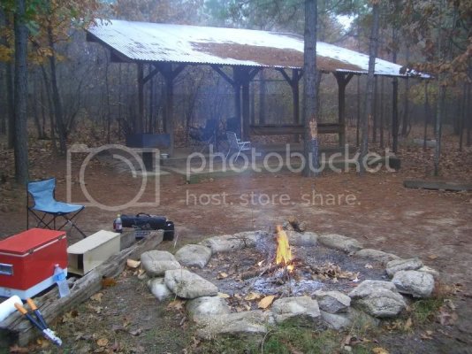
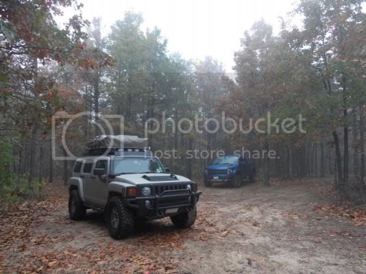
Along with my truck, we had a Jeep Grand Cherokee, Hummer H3 and a JK Unlimited. We drove in and set up camp at the Jeeps of North Texas Camp site. Here are a couple of views of camp:
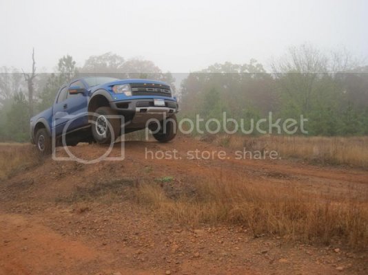
I was able to find a little hill to get some air:
Dropping down off of the main trail, heading up to Sierra Skyview:
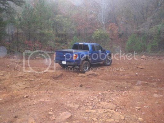
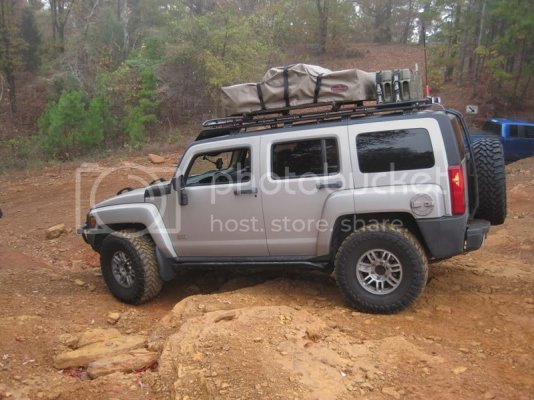
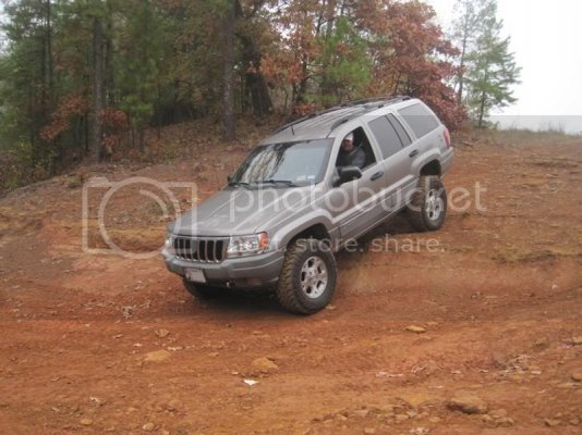
Dropping down onto Scorpion Overlook:
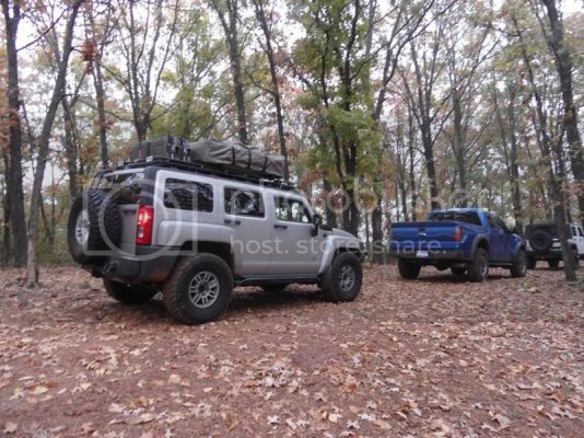
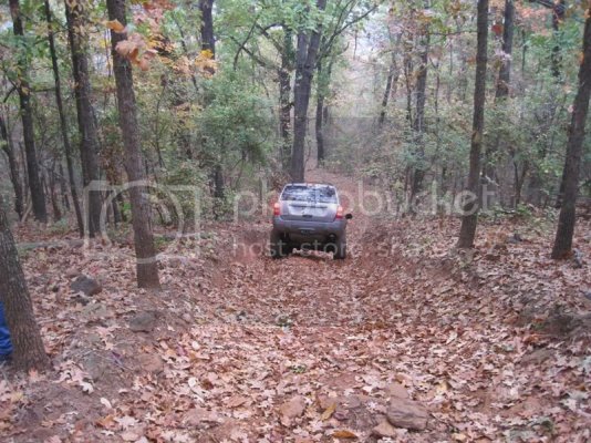
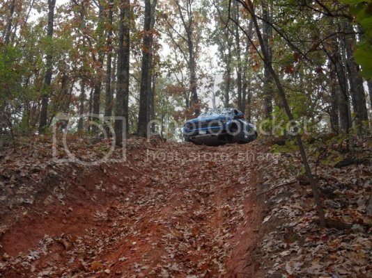
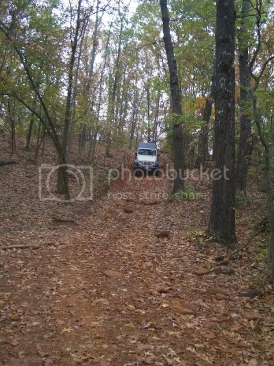
No hill descent needed w/ low range
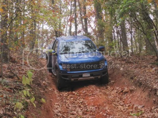
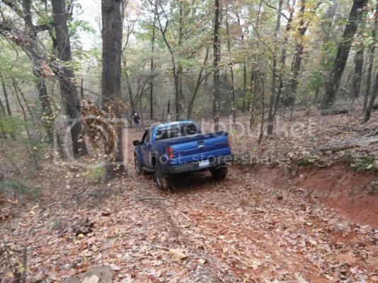
We went to the right onto what I think was Whatever and ran into a mud hole. The stock BFGs are awful in the mud (not a surprise).
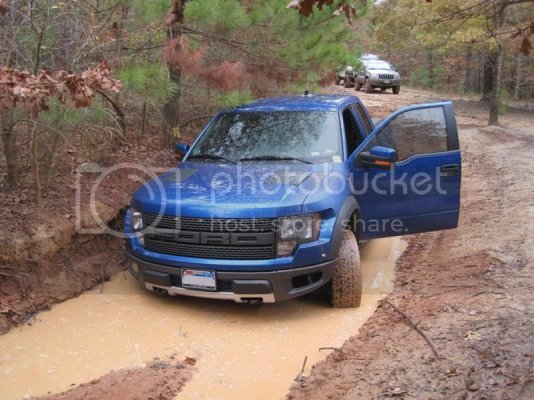
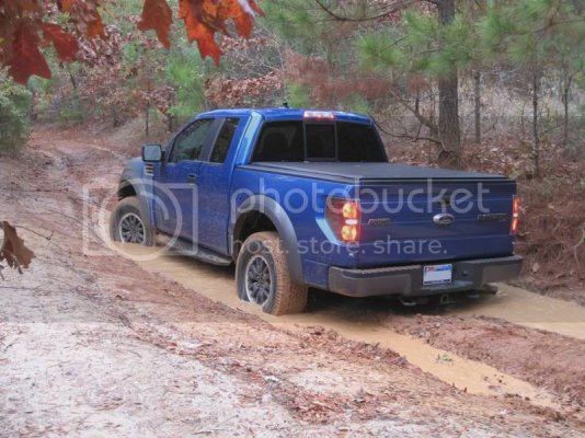
The H3 went through ahead of me and he got stuck coming back out:
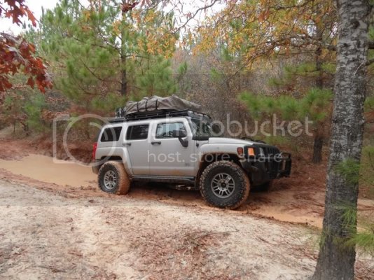
We turned around and went down what turns into Claude’s Ravine:
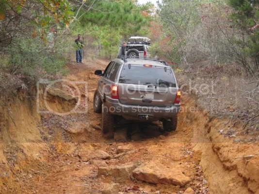
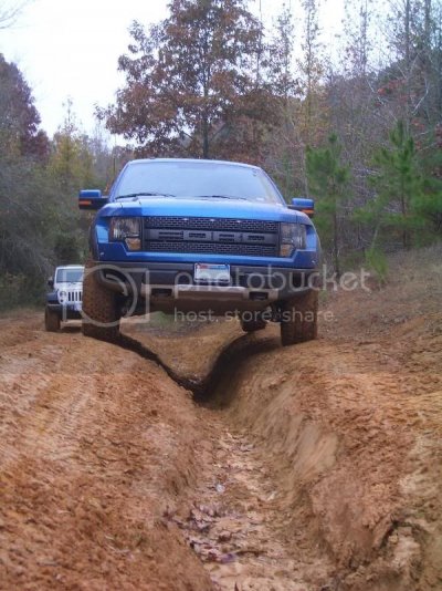
We tried Pine Hill Run, but the farther we went, the more narrow the trail became and I wasn’t quite ready to sacrifice that much of my paint.
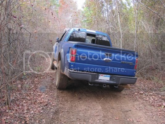
I had a tire a couple of feet off of the ground on this section with awesome articulation, but no one got a pic. Back down Claude’s Ravine:
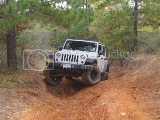
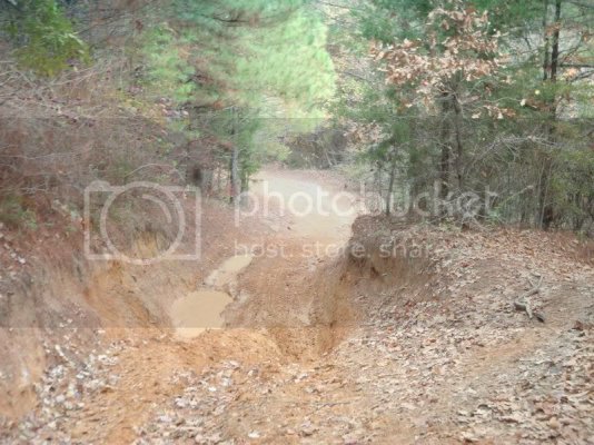
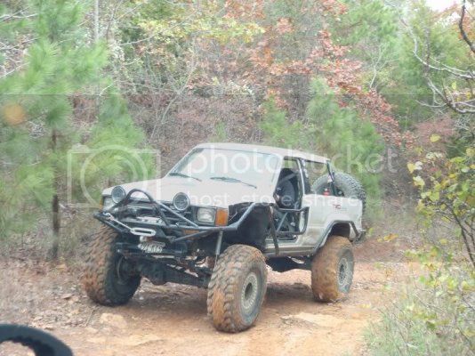
Passed this guy going the other way:
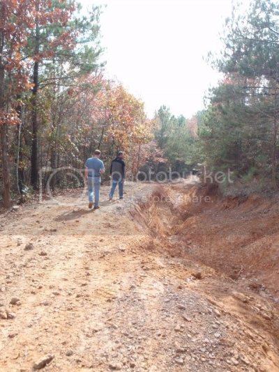
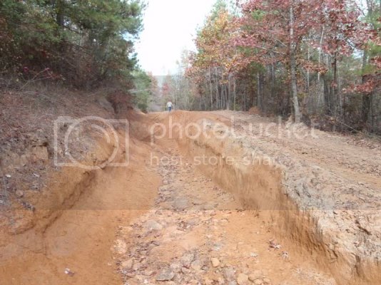
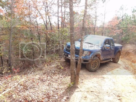
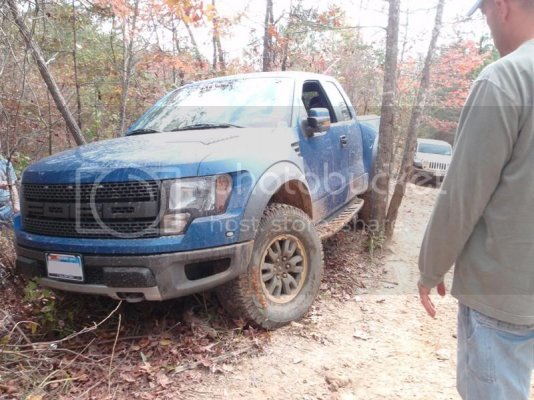
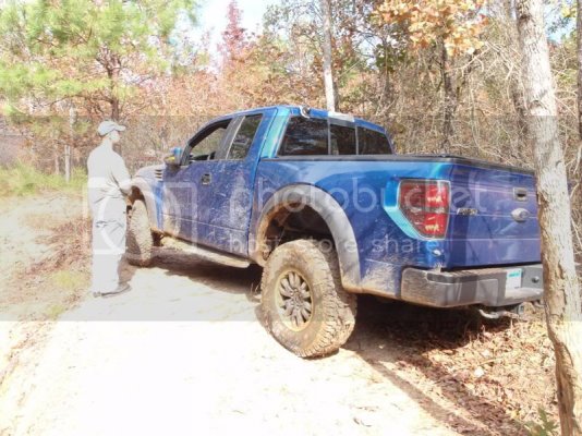
Now for the ravine portion of Claude’s Ravine. We scoped it out first and none of us wanted to try the ravine portion (pictures don’t do it justice). The bypass was very narrow, so I had to take an alternate line and we squeezed the truck through some trees.
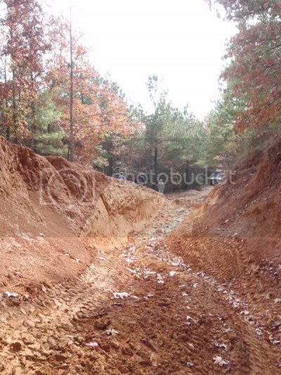
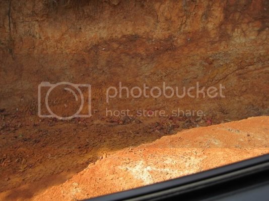
Looking down into the ravine from the JK on the narrow portion of the bypass:
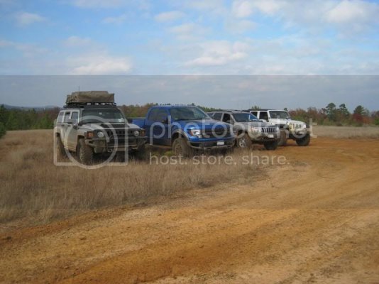
We stopped at Camp ECOR for lunch and a group shot:
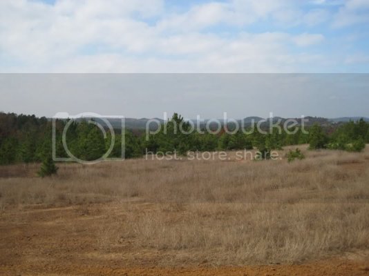
Some of the scenery:
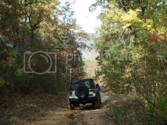
The last trail we hit before going home was Linda Gail:
Along with my truck, we had a Jeep Grand Cherokee, Hummer H3 and a JK Unlimited. We drove in and set up camp at the Jeeps of North Texas Camp site. Here are a couple of views of camp:


I was able to find a little hill to get some air:

Dropping down off of the main trail, heading up to Sierra Skyview:


Dropping down onto Scorpion Overlook:


No hill descent needed w/ low range


We went to the right onto what I think was Whatever and ran into a mud hole. The stock BFGs are awful in the mud (not a surprise).


The H3 went through ahead of me and he got stuck coming back out:

We turned around and went down what turns into Claude’s Ravine:


We tried Pine Hill Run, but the farther we went, the more narrow the trail became and I wasn’t quite ready to sacrifice that much of my paint.

I had a tire a couple of feet off of the ground on this section with awesome articulation, but no one got a pic. Back down Claude’s Ravine:


Passed this guy going the other way:

Now for the ravine portion of Claude’s Ravine. We scoped it out first and none of us wanted to try the ravine portion (pictures don’t do it justice). The bypass was very narrow, so I had to take an alternate line and we squeezed the truck through some trees.


Looking down into the ravine from the JK on the narrow portion of the bypass:

We stopped at Camp ECOR for lunch and a group shot:

Some of the scenery:

The last trail we hit before going home was Linda Gail:


